Met Éireann alerts Cork public to heavy rain and chance of isolated thunderstorms
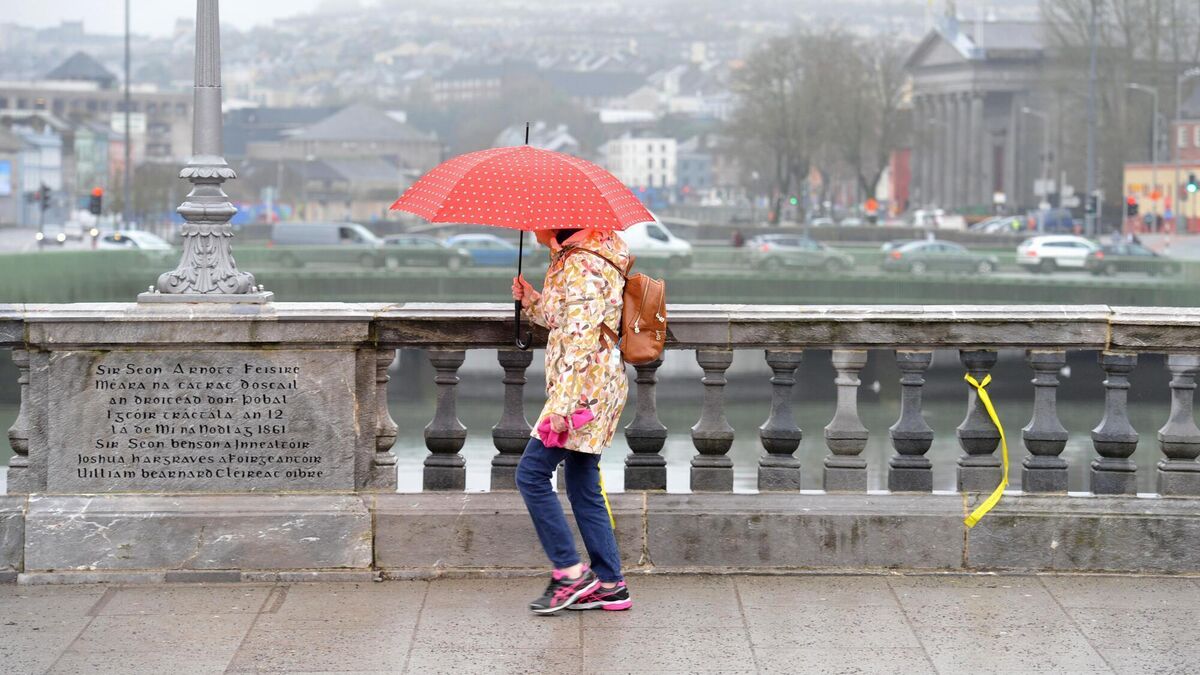
Dry weather with outbreaks of rain are expected today before showers start becoming heavier and more persistent at times, with the chance of isolated thunderstorms. Picture: Larry Cummins
Dry weather with outbreaks of rain are expected today before showers start becoming heavier and more persistent at times, with the chance of isolated thunderstorms.
Mist and fog are also expected with highs of 17C to 21C.
Rain will then start to clear tonight, followed by showers and clear spells with patches of mist and lows of 10C to 13C.
Tomorrow will then be a brighter day with a mix of sunny spells and scattered showers, which will become isolated later in the day. It will also be fresher, with highs reaching between 14 and 17C.
Scattered showers will be confined to the north and west overnight, with isolated showers elsewhere.
Lows of 9C to 13C are expected.
Road closures remain in place at Gaol Walk and College Rd near the Bons Secours.
Motorists are being urged to plan ahead to avoid delays.
Meanwhile, on the N28 at Shanbally Cross, congestion has started to build.
The N25 at Castlemartyr is also seeing similar traffic conditions.
Wednesday will be a mix of showers and sunny spells, while it stays dry for many.
Cloud will start to build in the west through the afternoon, bringing patches of drizzle, and highs of 15C to 17C.
It will stay cloudy with outbreaks of rain and drizzle coming in later in the night, before it clears eastwards across the country. Lows of 9C to 12C are in store.
Thursday will see sunny spells and scattered showers, becoming blustery at times.
It will be possibly cloudier with more persistent rain at times and highs of 14C to 17C.
Friday will see a dry start to the day with some sunny spells possibly; however, rain will develop through the day.
Highs of 14C to 18C are in store.








 App?
App?


