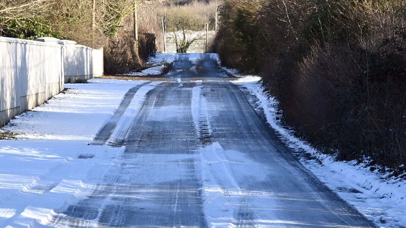
'Serious concern' over orange snow and ice warning for Cork

Difficult driving conditions are expected, as a Cork TD advised people to keep a close eye on their local forecast before attempting to travel.
Following an orange weather warning for rain and snow issued for Cork yesterday, Met Éireann say that people in Cork should be prepared for heavy rainfall rather than snow, as a Cork TD says there is "serious concern" on the ground.
Current predictions are temperatures from 3 to 6 degrees today, and largely similar but slightly colder temperatures tomorrow with lows of 2 degrees, but no freezing or below freezing temperatures predicted until after the weekend in Cork.
Cork was among eight counties issued an orange warning for this weekend, which is set to begin at 5pm today, with the whole country advised to expect “a multi hazard weather event” over Saturday and Sunday.
A meteorologist from the national forecaster explained: “A band of rain moving up over Ireland from the southwest during Saturday will turn increasingly to sleet and snow through Saturday evening and Saturday night with some impactful snow accumulations expected in places before the system clears away to the east during Sunday.
“Significant snowfall accumulations expected across parts of Munster and south Leinster as heavy rain transitions to sleet and snow on Saturday evening, continuing right through to Sunday."
They shared that accumulations of 5cm or more are likely in 24 hours, leading to very difficult travelling conditions with poor visibility, as well as significant travel disruptions and difficult ground conditions.
However, they said: “Heavy rain forecast for counties Kerry and Cork on Saturday evening and night looks like it will remain as rain for southern parts of the counties with some localised flooding possible.
“In Kerry and Cork falls of sleet and snow are most likely away from the coast and particularly at higher elevations in the north of the two counties.”
Both Cork City and Cork County Council’s severe weather and crisis management teams will continue to monitor the situation in Cork, with gritting carried out in case of possible snow and sandbags deployed to known problem areas in case of flooding.
Independent Ireland TD for Cork South West Michael Collins said there is concern amongst people in rural areas.
“Listening to the forecast, it seems from midday on Sunday onwards could be the worst of it – I’ve been on the road this morning and there’s rain falling which makes them that little bit safer, a bit of a thaw, but there’s certainly serious worry.
“I would be advising people to keep a very close eye on the forecast in your own local area, see what degree it is, is it safe to drive.
“I was out late last night and I saw, in fairness to them, the council out doing their part but the problem is when it rains that washes away and you’re back to square one – if there’s a serious freeze and it goes to minus temperatures when there’s water on the ground like there is now, that’s when the danger comes into play.”
Cork Airport advised that those intending to travel over the weekend are advised to allow ample time for their journey with potentially hazardous travelling conditions expected, and passengers are advised to contact their airline or refer to their airline's website or app for up to date information in case of delays or cancellations, though the majority of flights are currently operating on schedule.
Bus Éireann has also advised all intending passengers, particularly those in counties subject to Status Orange Weather Warnings, to check the ‘Service Updates’ section of their website before travelling as there is the potential for disruption to services due to adverse weather conditions.
The company said it will continue to monitor weather advisories as well as road conditions, adding: “The safety of our passengers and staff is of paramount importance to Bus Éireann and we would encourage all customers to plan their journeys in advance, allowing extra time for their journey, during this period of adverse weather.”
The cold weather is set to continue well into next week as a cold Arctic northerly airflow become established from Sunday night.


 App?
App?


