Latest: Second weather warning issued for Cork as Storm Debi approaches
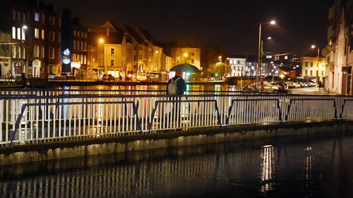
A second weather warning has been issued for Cork as Storm Debi approaches. Picture: Denis Minihane.
A second weather warning has been issued for Cork as Storm Debi approaches.
A status orange wind warning is due to come into effect at 1am for a three-hour period.
Met Éireann this evening said it will be "unusually stormy on Sunday night and Monday due to Storm Debi with severe and damaging gusts".
Possible impacts may include damage to exposed and vulnerable structures, dangerous travelling conditions, disruption to services, damage to power lines and fallen trees or branches.
#StormDEBI UPDATE
— Met Éireann (@MetEireann) November 12, 2023
⚠️Red Wind Warning⚠️
Dublin, Kildare, Laois, Louth, Meath, Offaly, Westmeath, and Wicklow, Clare, Galway, Kerry, Limerick, Roscommon, & Tipperary
Cork upgraded from Yellow to Orange
Details on impacts & times for your area⬇️https://t.co/1P0YPQeYTB pic.twitter.com/DBmOgD4LVJ
The Department of Housing, Local Government and Heritage had earlier said that school managers at local level would advise parents of any disruption to school services.
A number of Cork schools have tonight contacted parents advising of later openings tomorrow.
A countrywide status yellow wind and rain warning is due to come into effect at midnight tonight and is expected to remain in place until 3pm tomorrow.
It advised that Dursey Cable Car will be closed on Monday and will return to operation only when wind speeds permit and following inspection if necessary.
Updates will be available on @CorkCoCo social media.
"Issues such as fallen trees, flooding and road damage should be reported to the relevant local area office during working hours or contact the Council’s Emergency Out of Hours number (021) 4800048 (5pm-9am). Contact details for the Council’s Area Offices are available at www.corkcoco.ie or by contacting Cork County Council Headquarters on (021) 4276891 between 9am and 5pm," the statement added.
The public has been alerted to potential flooding, hail, lightning and "severe and damaging gusts" as Storm Debi approaches this evening.
A countrywide status yellow wind and rain warning has been issued by Met Éireann ahead of the weather event.
The warning will come into effect at midnight tonight and is expected to remain in place until 3pm tomorrow.
#StormDebi will sweep across Ireland on Sunday night & Monday morning
— Met Éireann (@MetEireann) November 12, 2023
There will be severe and damaging gusts, likely to lead to:
🏡 Damage to vulnerable structures
🚗 Dangerous travelling conditions
⚡️ Disruption to services & power lines
More here 👇https://t.co/Xg3aMJlyuS pic.twitter.com/TUuzgodvdg
The national forecaster said it will be "very windy or stormy" tonight and tomorrow due to Storm Debi, "accompanied by heavy rain with a chance of embedded thunderstorms and hail".
Possible impacts of the adverse weather could include localised flooding including wave overtopping, hazardous travelling conditions and fallen trees or branches.
Some counties, not including Cork, have been issued with status red wind warnings.
A number of marine warnings have also been issued, including a status red storm warning from Mizen Head to Valentia to Slyne Head.
The warning is in place for a three hour period from 2am tomorrow.
Westerly winds, Met Éireann said, will reach violent storm force 11 for a time.
According to the latest forecast for Munster, it will become "wet and very windy tonight as Storm Debi approaches from the southwest".
"A spell of heavy and thundery rain will move in from the southwest overnight. Localised flooding, hail and lightning are possible.
"Moderate south to southeast winds will increase strong and gusty with stormy southwest to west winds developing by morning. Some severe and damaging gusts are possible," Met Éireann said.
Lowest temperatures will be around six to nine degrees.
A "very windy and wet" start is expected tomorrow.
The national forecaster said Storm Debi will bring "severe and damaging gusts with strong gale force westerly winds" but that these winds will gradually ease and back southwesterly during the afternoon.
The rain will clear to the north through the morning, followed by sunny spells and scattered heavy showers. Highest temperatures will be around 10 to 13 degrees.







 App?
App?


