Nostalgia: How modern Cork city moved into its space
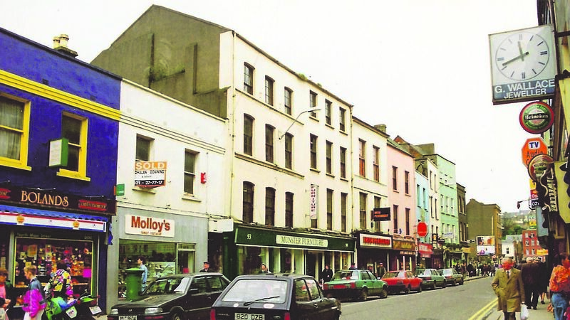
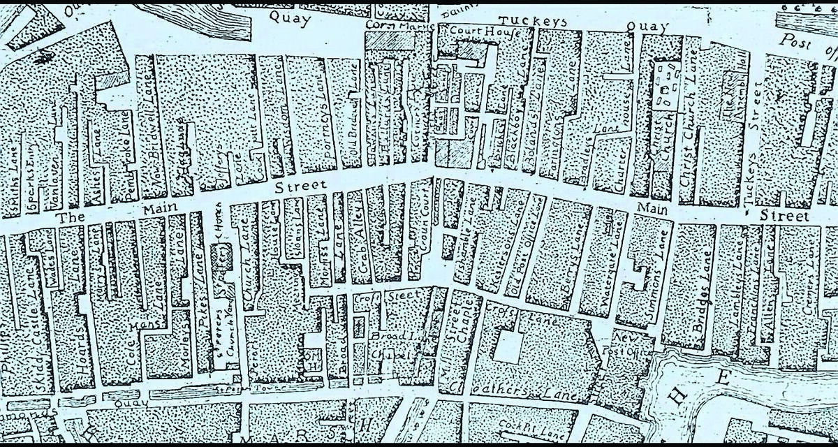
This photograph, taken in 1980, shows the north-western section of North Main St. In John Rocque’s 1773 map, this section housed nine lanes. In the photo, between Molloy’s Footwear Shop and Munster Furniture, is Coleman’s Lane. The Historian, CJF MacCarthy tell us: ‘during the 19th century 423 people crowded into 21 dwellings in this lane.’ which gives another good insight into the appalling living conditions of the time. Today, following the fine construction of the new Coleman Court Student Accommodation complex, Coleman’s Lane has undergone a face lift and it’s the only public traditional narrow laneway that has survived in our thriving every changing face of Cork City. Photograph: Richard T. Cooke
THE medieval city of Cork was divided into quarters, formed by the line of Main [today’s North and South Main] Street and divided by a watercourse called Mill Stream which ran along Liberty Street to the city’s dock, south of today’s Castle Street.





 App?
App?


